Stereo Google Earth


Use this feature to capture a stereo image (at screen resolution) of a geographical location.

..

After Google Earth has loaded, enter the name of a prominent town, city or other location and click 'Search'.

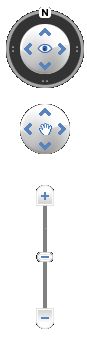
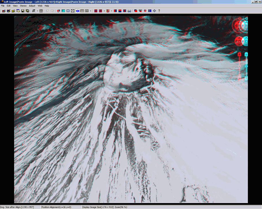
You may use the navigator vertical zoom-bar to adjust altitude and the lower multi-controller to move in four directions.
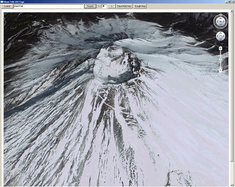
Use the upper multi-controller to tilt or rotate the virtual-camera.

If desired, you may hide the navigator.
Normally, we just use the up-arrow to tilt the scene away from the viewer at about 45 degrees.


Click 'L' and the virtual-camera will move to the right by an amount determined by the setting in the '1/' box.
The default is to move the virtual camera 1/30th the distance to the subject.
Click 'R' and the stereo image will be displayed.


The first time you use this feature with SPM, the stereo viewing mode will be as set in Edit\Preferences\Launch.
If you choose a different viewing mode, it will take effect next time SPM is started up.

Click 'Google Map' to display a map of the location.


The map has its own set of navigation buttons and allows you to show terrain, satellite or map/satellite hybrid views.