PhotoMap Maker for Android
Latest Version
PhotoMap Maker Ver1.00 (free)
24/Jul/2011 update
PhotoMap Maker is easy to use Android application to see your photos on map.
1.Use GPS or select location in the map.
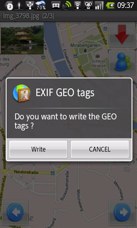
2.Insert longitude and latitude information(geotag) in existing jpeg files.
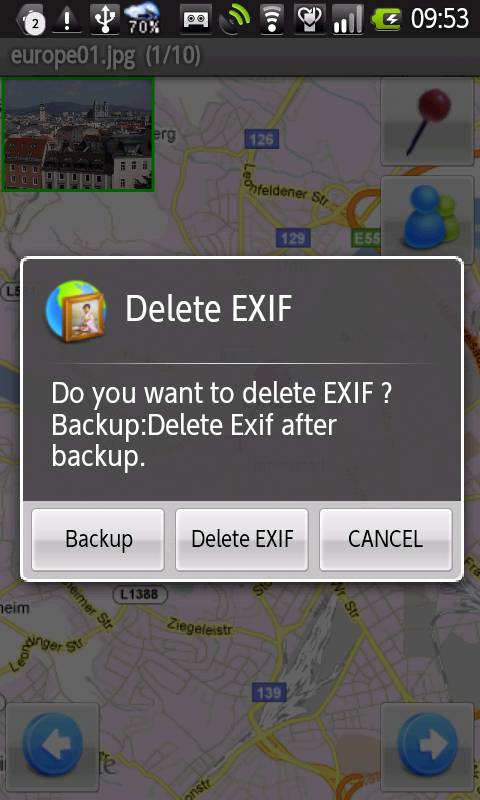
3.Delete EXIF information(include geotag) in existing jpeg files with/without file backup.
4.Take pictures with the camera and save location information in the EXIF information.
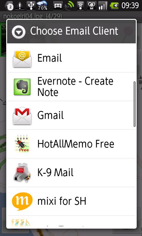
5.Send generated jpeg file by e-mail.
6.GPS Auto-Follow Enabled/Disabled.
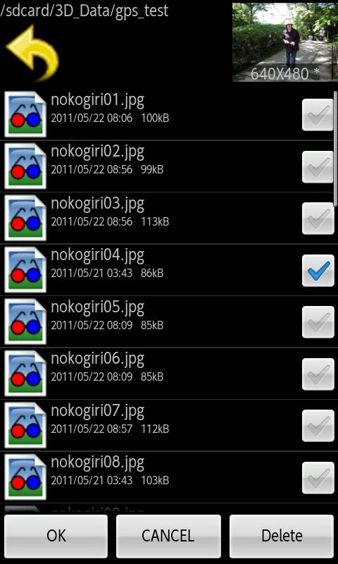
7.Image viewer and File explorer included.
8.Paging Image in the folder.
9.etc.
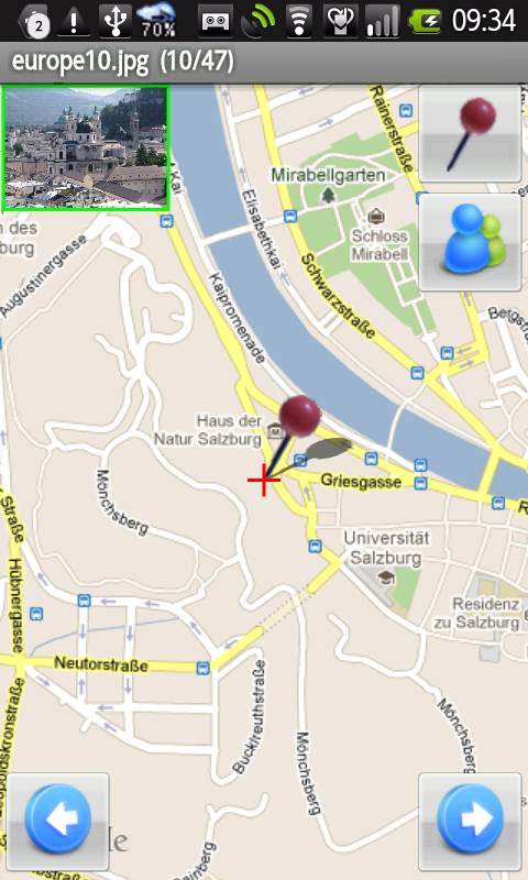
 Goto geotag location in the map
 Write map center(cross mark) to image file's geotag.
 GPS Auto-follow Enable
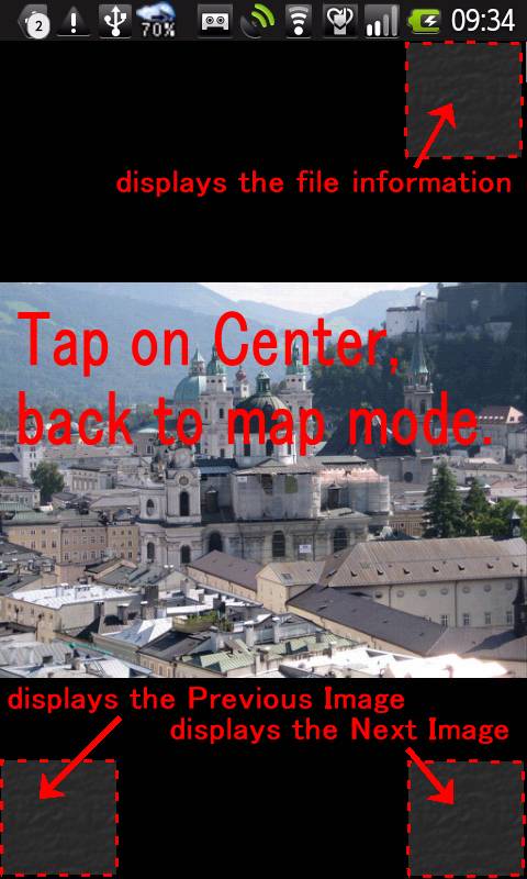
 displays the Previous Image
 displays the Next Image
Tap on the thumbnail image, displays the Image as below.
Tap on Right/Bottom corner, displays the Next Image when the control buttons
are hidden.
Tap on Left/Bottom corner, displays the Previous Image when the control
buttons are hidden.
Tap on Right/Top corner,displays the file information.
Tap on Center, back to map mode.
Menu
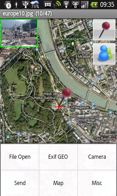
File open
Exif GEO
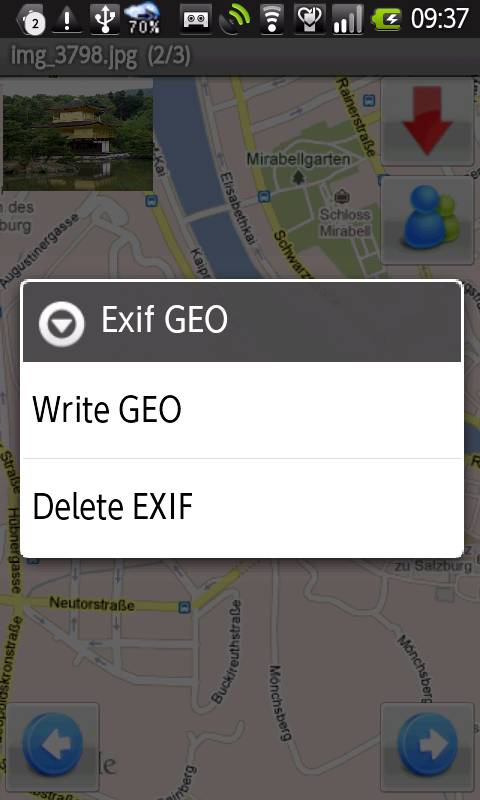
Write GEO (Same as )
Delete EXIF
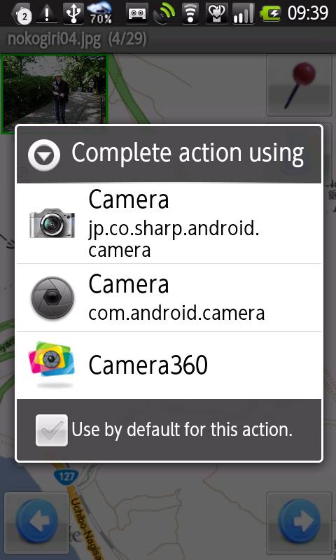
Camera
Send e-mail.
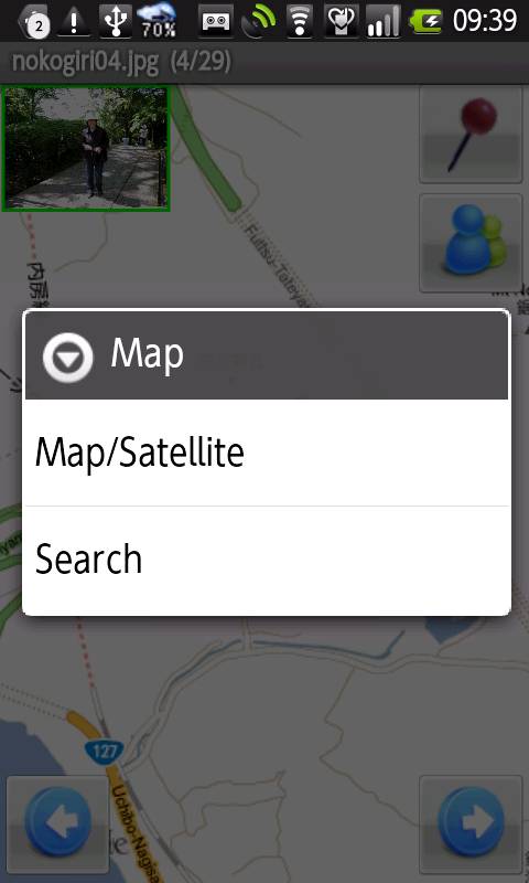
Map menu
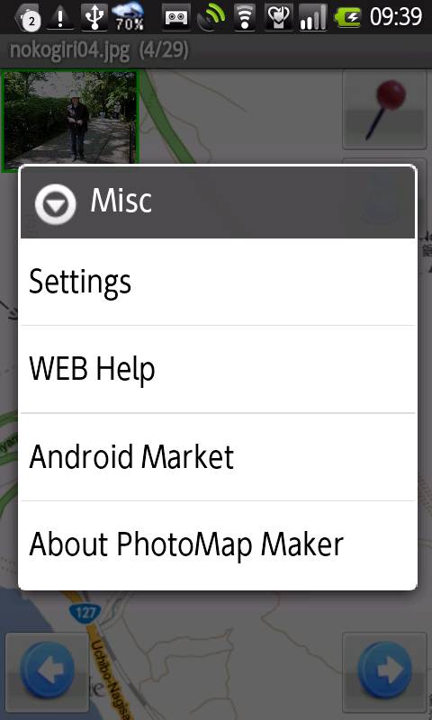
Misc menu